Gwanda District, administered by Gwanda RDC, is located in Matabeleland South Province and shares boundaries with Beitbridge District to the South, Matobo District to the North West, the Republic of Botswana to the South West, Umzingwane District to the North, Insiza District to the North East, as well as Mberengwa and Mwanezi Districts to the East.

Office Maps

Spatial Planning

HomeDepartmentsSpatial Planning

Spatial Planning

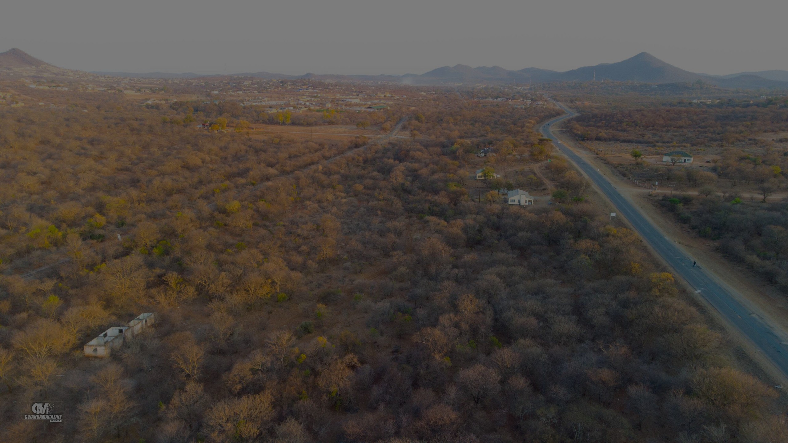
Vision: To create sustainable, inclusive, and well-structured townships, rural and peri-urban environments within Gwanda District that enhance the quality of life for all communities by 2030.

Mission: To guide, manage, and promote the efficient use of land and spatial resources within Gwanda Rural District through strategic planning, effective land use management, policy implementation, and inclusive community engagement.

Department functions:

  • Spatial Planning Officer (HOD)
  • Estates Section
  • Development Control Section
  • Geographical Information Systems (GIS) and Survey Section

Core functions:

Our workshops are perfect for horse owners, riding enthusiasts, stable managers, and anyone eager to deepen their understanding of horse care. No prior experience is necessary — all are welcome!

  • Preparation and implementation of Spatial Development Frameworks (SDFs) for the district.
  • Administration of land use planning through zoning, development permits, and site inspections.
  • Strategic planning for rural service centers, growth points, and peri-urban areas
  • Development and enforcement of local planning policies in line with national legislation.
  • Integration of environmental sustainability into planning processes.
  • Promotion of community participation in planning and development initiatives.
  • Utilization of GIS technology for spatial data analysis and informed decision-making.

Strategic objectives:

  • Promote orderly and sustainable development across Gwanda Rural District.
  • Improve access to land and basic services in rural and peri-urban areas.
  • Support local economic development through efficient land use planning.
  • Enhance planning, governance and institutional capacity.
  • Integrate disaster risk reduction and climate adaptation into spatial planning.